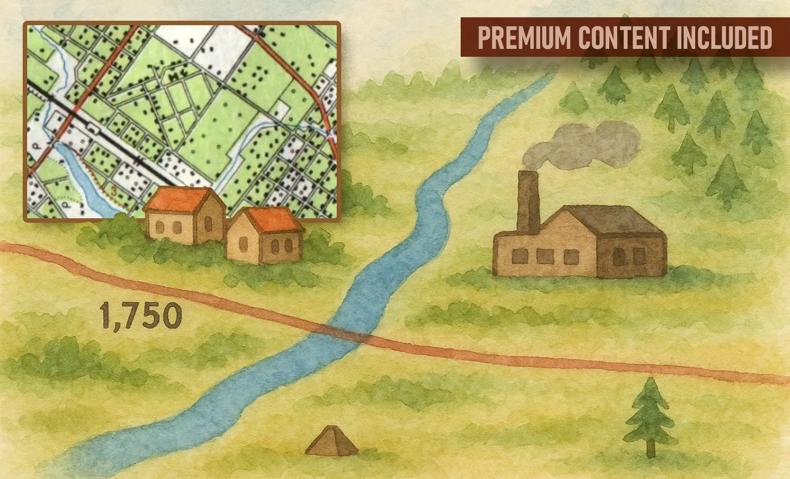
In this premium blog post, we take a closer look at how Soviet maps visualized the landscape using standardized symbology. Discover how these cartographic conventions helped convey detailed information about the terrain, and how they allowed users to interpret maps effectively and consistently — even under the demanding conditions of wartime navigation.
Explore the world of Soviet topographic maps and their enduring legacy.

Topographic maps are essential tools for accurately representing terrain features. In the USSR, the system of topographic symbols was carefully developed to depict everything from rivers and settlements to roads and industrial facilities. These symbols were divided into three categories: scale (contour), non-scale, and explanatory signs — ensuring clarity and precision in cartographic data.
In preparing this material, we used the official system of topographic symbols issued by the Military Topographic Directorate of the General Staff of the USSR (1966 edition). However, it is important to note that most of the symbols had remained largely unchanged since the early 1940s.
Conventional signs for maps at scales 1:25,000, 1:50,000 and 1:100,000

📁 Cities


📁 Rural-type settlements


📁 Depiction of Blocks and Individual Buildings


📁 Place Name Labels: Cities

📁 Urban-type settlements (workers’ settlements, resort settlements, etc.)

📁 Settlements near industrial enterprises, railway stations, river ports, etc.

📁 Rural or seasonal cottage settlements

📁 Railway stations
To be continued.
In the second part of the publication, we will introduce you to the conventional symbols representing standalone items and objects.
Signs of the Terrain: Cartographic Symbols Collection
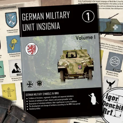
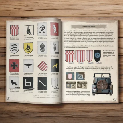
German Military Unit Insignia Vol 1 Book
Original price was: € 48.00.€ 38.40Current price is: € 38.40. (tax incl.)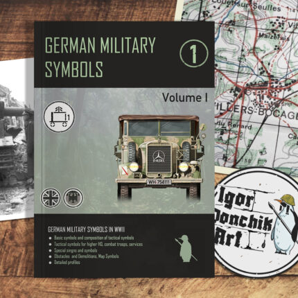
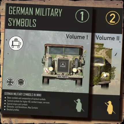
German Military Symbols Vol. 1 | Book by Igor Donchik
Original price was: € 43.00.€ 34.50Current price is: € 34.50. (tax incl.)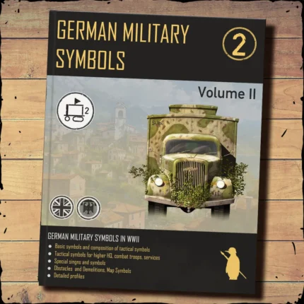
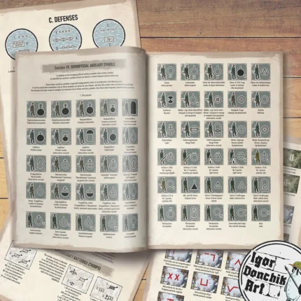
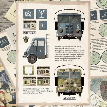
German Military Symbols Vol. 2 – WWII Tactical Markings Guide by Igor Donchik
Original price was: € 43.00.€ 40.85Current price is: € 40.85. (tax incl.)


&url=https://not-toys.com/product/german-military-symbols-vol-2-discounted-copies-minor-defects/&media=https://not-toys.com/wp-content/uploads/2024/11/German-Military-Symbols-Vol2-800x800.webp)